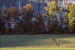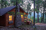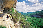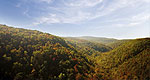


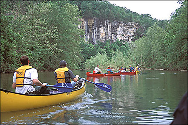
In the heart of the Ozarks, the Buffalo River was America's first national scenic river in 1972. The 150-mile-long free flowing Buffalo offers both swift-running and placid stretches, inviting sand/gravel bars, towering limestone bluffs, woodlands, protected wilderness areas and nature watching opportunities, including deer and elk. Smallmouth bass is a catch along the river. Over 100 miles of trails have been blazed for public use. Designated horseback riding trails are located in each district of the river, under the auspices of the National Park Service. Resorts and outfitters are located throughout the river region. Camping is available at most access points and primitive camping is allowed along the stream. The impressive Tyler Bend Visitor Center, off U.S. 65 north of Marshall, provides exhibits and materials to the public. Other centers/ranger stations are located at Buffalo Point and Pruitt. The new Ponca Elk Education Center is another "must-see" stop while in the area.