


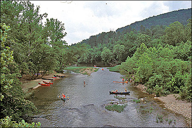
The Caddo River begins in the Ouachita Mountains in southern Montgomery County and flows past the communities of Norman, Caddo Gap and Glenwood before being impounded to form DeGray Lake, home to Arkansas's only resort state park. Above the lake, the Caddo is rated as an excellent "family" float stream and outfitters, cabins and other lodging are available. Below DeGray, the Caddo continues some four miles before joining the lower Ouachita River just north of Arkadelphia.
Fishing: The approximately 40 miles of the Caddo above DeGray Lake is known for its fine fishing for smallmouth and spotted bass. In March and April, anglers also find white and hybrid striped bass just above the lake.