


Constructed under the supervision of the U.S. Army Corps of Engineers' Little Rock District, Lake Dardanelle is one of the most accessible and attractive recreation areas in Arkansas. Located about half-way between Little Rock and Fort Smith, the lake stretches some 50 miles as part of the $1.2 billion Arkansas River Navigation System. It is an important link in the 450-mile project that extends river commerce from the Mississippi River to near Tulsa, Oklahoma.
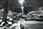
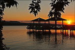
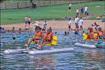
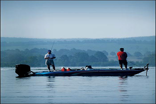
With just over 34,000 acres of boating and fishing waters, 315 miles of shoreline, and rimmed by choice picnic and camping areas, offers many recreational opportunities. Parks offer drinking water, toilet facilities, boat launching ramps, parking areas, and tables. Several have trailer dump stations, electrical outlets, and group picnic shelters. Public boat docks offer boat and motor rental services, fuel, food, and other supplies and services. Some 250 U.S. Army Corps of Engineers campsites are available around the lake, plus Lake Dardanelle State Park welcomes visitors at two shoreline locations. Also, the river valley is a favorite wintering area for the American Bald Eagle. From late fall through early spring, eagles are often seen perched in large trees and on snags along the river as they hunt for their prey. Old Post Road Park in Russellville and Holla Bend National Wildlife Refuge are popular viewing areas for these majestic creatures.