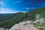


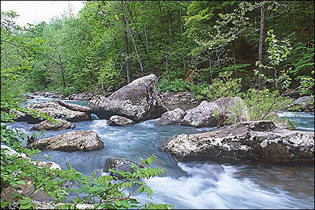
The Ozark and Ouachita Mountain Ranges cover approximately two-thirds of the state providing ample opportunities to view these spectacular watery showpieces. Pictured here is one of the more striking waterfalls in Arkansas and directions on how to find it.
From I-40 at Russellville, go north for 36 miles on Scenic 7 Byway to Pelsor. Turn east on Ark. 16 and drive approximately 10 miles to Forest Service Rd. 1205. Turn north and go about eight miles to Richland Creek Campground. Park at the lower campground and head west on foot, immediately crossing Falling Water Creek. Hike the Richland Creek Trail for about two miles to the confluence of Devil’s Fork Creek, then go straight for 1/4-mile. Twin Falls are 1/4-mile up Devil’s Fork; Richland Falls is another 1/4-mile up Richland Creek (a topographical map is suggested). These are some of the most picturesque waterfalls in the state but also some of the most difficult to get to. It is considered a difficult trek to reach them.