


North Arkansas's Buffalo River, the country's first national river, includes nearly 95,000 acres of public land along its corridor. It has been the topic of a full-length book, the subject of a National Geographic feature article, and the cornerstone for the state's environmental movement.
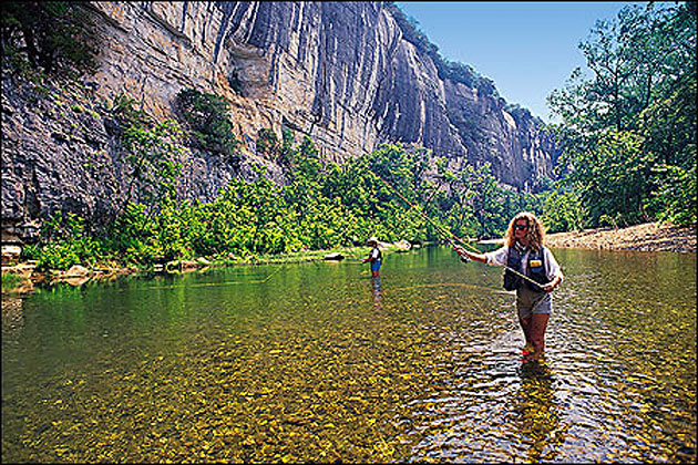
Spectacular is the best word to describe scenery along the river. For 150 miles, the Buffalo offers an unmatched mixture of clear water, lofty cliffs, overhanging hardwoods, and inviting gravel bars. There's excellent scenery off the river, too. Another place that shouldn't be missed is Lost Valley, a unique bluff-lined canyon between Boxley and Ponca. The Richland Creek Valley is also a sight-seer's paradise, especially in its upper reaches where an 11,800-acre wilderness area awaits the adventurous.
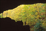
On its way to the White River, the Buffalo descends nearly 2,000 feet through layers of sandstone, limestone, and chert. One immediately obvious result is bluffs and more bluffs—the highest in all the Ozarks. Hidden away, ready for discovery, are other geologic marvels—springs, caves, waterfalls, natural bridges, and box-like canyons.
But the Buffalo is much more than an ongoing display of natural curiosities. It is, in the words of the National Park Service, "an island of time and space." It is a valley where turn-of-the-century lifestyles and landscapes still exist. It is a place that refreshes the spirit.