Arkansas Map

Dug Hollow on the Buffalo National River

Dug Hollow on the Buffalo National River

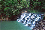
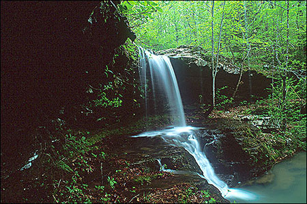
The nation’s first federally protected stream (1972), the Buffalo River flows roughly 150 miles and includes nearly 95,000 acres of public land along its corridor. The stream descends nearly 2,000 feet through layers of sandstone, limestone, and chert. One immediately obvious result is its many bluffs—the highest in all the Ozark Mountains. Hidden away, ready for discovery, are other geologic marvels—springs, caves, waterfalls, natural bridges, and box-like canyons, where trails are abundant.

Related Fayetteville Photos


Copyright © 1997 - 2025 The Go Travel Sites. All Rights Reserved and.

Email Page Link

Complete the form below to email this page to a friend or family member's email. You can send yourself an email as well. Your email and your recipient's email will NOT be shared with anyone. See our full Privacy Policy for details.
:
:
:


:
Copy Yourself on the Email Yes No
:
:

1

Select a Free Visitor Guide below

2

Complete the form to receive your guides by mail