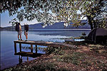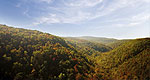


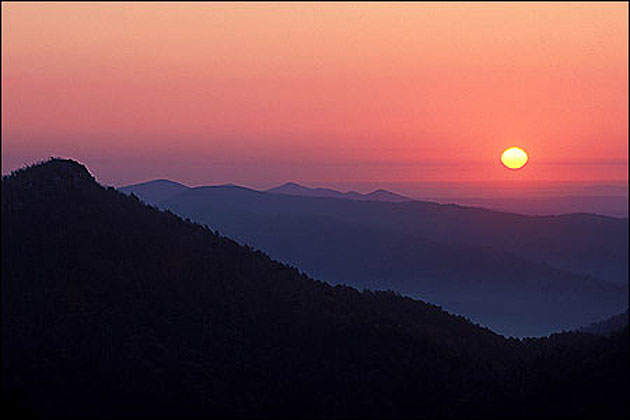
The Ouachita Mountains were formed when a collision of two prehistoric continents squeezed up from the ocean floor thick layers of sedimentary rock. They have lost thousands of feet of elevation to weathering and erosion since emerging above sea level some 286 million years ago—40 million years before the first dinosaurs walked the earth—and their tallest summit now reaches less than 2,700 feet. The ancient Ouachitas now appear as the Rocky Mountains might well look 300,000 millennia from now. Within the 1.7 million-acre Ouachita National Forest (est. 1907) are back roads and hiking trails that provide visitors with an up-close experience of the aged mountains. Among the forest's most popular campgrounds are the Albert Pike Recreation Area on the Little Missouri River and the Shady Lake Recreation Area, located on a scenic 25-acre lake formed by a Civilian Conservation Corps dam constructed in the 1930s. Popular day-use spots include the Little Missouri Falls and the scenic Winding Stairs areas. The forest also provides several float camps for canoeists on the upper Ouachita River.